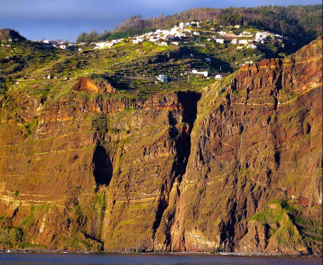
CAMPANÁRIO
(PARISH OF RIBEIRA BRAVA MUNICIPALITY)
32° 40' N 17° 01' 50" W
Campanário is a parish in the municipality of Ribeira Brava, with an area of 11.80 km² and 4317 inhabitants (2021 census). Its population density is 365.8 inhabitants/km².
It is located at latitude 32.65 (32°39') North and longitude 17.033 (17°2') West, being at an altitude of 0 meters, the average sea level.
Campanário has a road that connects Calheta and Funchal. The main activity is agriculture. It is bathed by the Atlantic Ocean to the south and has mountains to the north.
Geography
The second most populous parish of Ribeira Brava, Campanário is situated along the southern coast of the municipality.
The parish consists of the following localities: Achada, Adêga, Calçada, Carmo, Chamorra, Chapim, Corujeira, Cova da Velha, Fajã dos Padres, Fajã Velha, Furnas e Amoreira, Igreja, Jardim, Lapa e Massapez, Lombo do Romão, Longueira, Lugar da Ribeira, Lugar da Serra, Palmeira, Pedra Nossa Senhora, Pedregal, Pinheiro, Porta Nova, Porto da Ribeira, Quebrada, Roda e Massapez, Rodes, São João, Serrado, Terreiros, Tranqual, Vigia and Voltas.
Economy
Of the active population, 35% are dedicated to agriculture: potato, vineyards, banana, oranges and tropical fruits, are the most profitable of these primary activities. In industry, construction, carpentry and sawmilling, automobile services, and quarrying, cement services and marble-cutting are typical jobs associated with this parish
Return to mainland Portugal and
to the Azores and Madeira islands


Sem comentários:
Enviar um comentário